
The First Map of Saint Paul: Benjamin and Ira Brunson
If you’ve ever flown over the midwest, you might have looked out the window and noticed the patchwork quilt squares that divide up the land. That’s not a coincidence.

This isn’t something we think about a lot, but those lines were determined a LONG time ago. The Land Ordinance of 1785 put into the law how land would be prepared for sale. The 13 colonies had been divided up using the English (and slightly chaotic) metes, bounds and meanders system, but newer states would use the more straightforward section lines of the Public Land Survey System (PLSS).
This system created:
Townships (this is Becker County, as an example)

Each Township was divided into 36 Sections of 640 acres.

Each Section was divided into 4 Quarter-sections of 160 acres.
Which could be divided into smaller Quarter-Quarter sections of 40 acres. And so on and so forth.
This land division system is part of why after the Civil War, freed slaves were promised "40 acres and a mule." They never got them, but that’s another story.
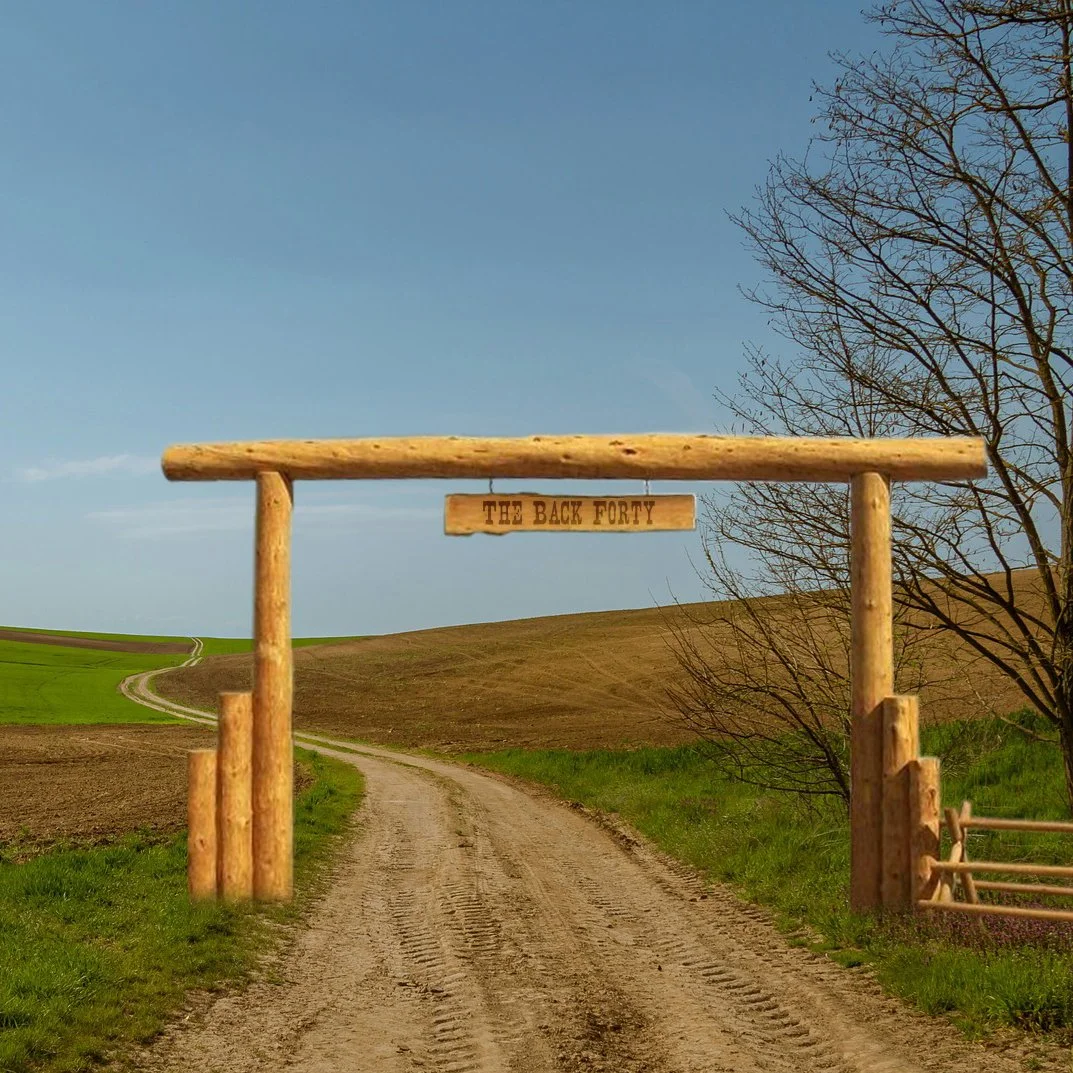
This is also where we got the phrases "front 40" and "back 40,"or sometimes “north 40” or “south 40” determining what part of the surveyed land you are referring to. A farmer might say, “I’m going to plant the North 40 this week” or “The cows are grazing in the Back 40”. It became part of everyday speech.


In the 1840s, the work of surveying the Minnesota Territory was begun. Men walked every acre of the territory to create the first maps. Two brothers, Ira and Benjamin Brunson, created the first Survey of Saint Paul. From there, they could create the first Plat Map - dividing up the land into parcels of land for sale at $1.25 per acre.
Squatters Rights
But of course, in many cases, there were already people living on the land before it was surveyed or platted. As soon as (or often even before) the government announced that land would be ceded by the Native Americans, people would swarm onto the land. Those people, squatters, didn’t actually hold and title to the land and ran the risk of losing it even if they had lived on and built on (improved) it when it officially went up for sale. In 1862, the Homestead Act was passed and allowed squatters to “claim” 160 acres of land. If after 5 years they had made improvements to the land - built a house or barn or shack or plowed a field, they would have “squatters’ rights” and could buy the land for $1.25 per acre.
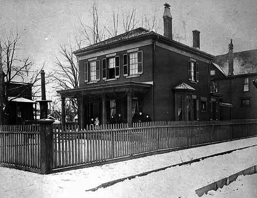
This is just scratching the surface of land surveys and land law - but the Brunsons, whose home still stands in the Railroad Island neighborhood of Saint Paul (named because it got surrounded and cut off from the rest of the city by the railroads) were on the team that got the chains moving in Saint Paul.
Brunson’s Pub
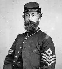
Benjamin Brunson
After the mapping was done, Benjamin Brunson served in the first Minnesota Territorial Legislature, as a justice of the peace, as a superintendent of mail carriers, as merchant at Steamboat Landing, and as a civil engineer for the Lake Superior and Mississippi Railroad. In other words, he was all over Saint Paul. He also fought for the Union in the Civil War.
He built his brick home in 1855 - giving the street its name - when the area was still wooded and remote. He would have walked the short mile up to Payne Avenue - the main business drag of the neighborhood - and past the building that is now home to his namesake saloon.

For decades, Brunson’s Pub was known as Schwietz’s Saloon but new owner’s revived it in 2017. Knowing the importance of the role Brunson had in the city, but was pretty much forgotten, they revived his name, too.
The best kind of neighborhood bar is one that embraces its community, its individual character and its history.
Brunson’s Pub does all that and more.